Revisit Twin Peaks with this eerie charcoal map drawn by David Lynch

Revisit Twin Peaks with this eerie charcoal map drawn by David Lynch
Screenshot: Twin Peaks – Showtime

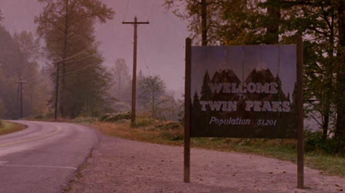
Two years ago, David Lynch did the impossible with Twin Peaks: The Return. He revived a 25-year-old TV show for a third season and managed to produce something even more critically acclaimed than the first go-around. One of the many things that made this task so difficult was the fact that any returning cast members had to get themselves back into the mindset of a character they hadn’t played in over two decades. How did David Lynch help these actors mentally find their way back to the eerie Pacific Northwestern town? He drew them a map, of course.

“To create a sense of space for the show, David Lynch drew this map of the town,” Kyle MacLachlan wrote in a recent Instagram post sharing the shadowy sketch of Twin Peaks that’s very much in the style of Lynch’s other paintings. While this charcoal rub won’t exactly satisfy any curious cartographer, it does include a number of recognizable locations from the show. You’ve got the Ghostwood National Forest to the east, home of the infamous Black Lodge. To the north, nestled on the US-Canadian border, there’s Black Lake, across which is the local brothel and casino, One Eyed Jack’s. Though it isn’t labeled as such, we’re willing to bet that large building at the base of White Tail Mountain is the Great Northern. Now, we just need to find the Double R so we can get ourselves a slice of pie and a damn fine cup of coffee.

[via Vulture]

 
Join the discussion...